Angangueo, a city shaped by the river and the valley’s topography, evokes the characteristics of a traditional European historic town. In May 2010, heavy floods and erosion devastated large portions of the city, forcing the evacuation of long-standing neighborhoods. The project’s aim was to develop a new urban settlement for 586 displaced families in need of relocation.
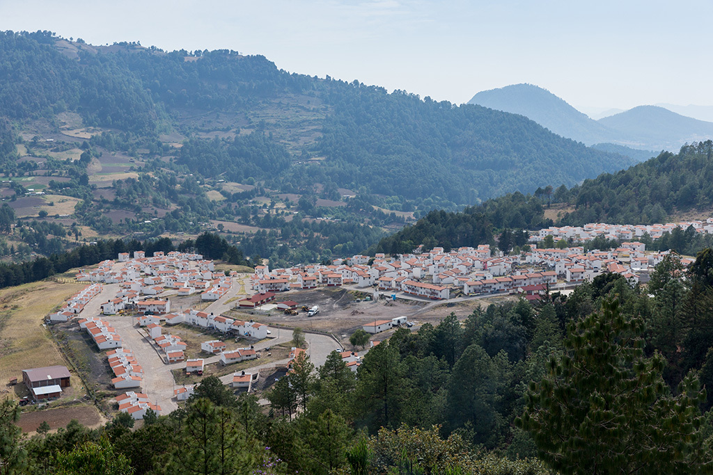
The new urban development is located on a high plateau previously used for agriculture. The existing structure of the site was adapted as the foundation for this new urbanization. Linked to the surroundings by three main entrances, the new center creates a synthesis between the original linear city and the more centralized layout of the new site.
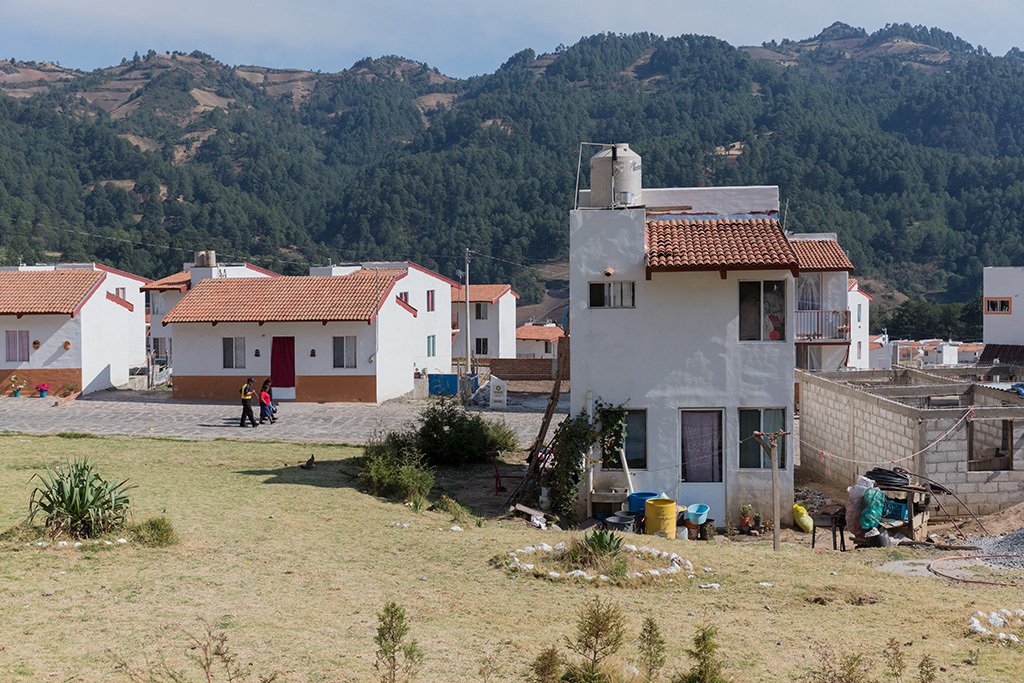
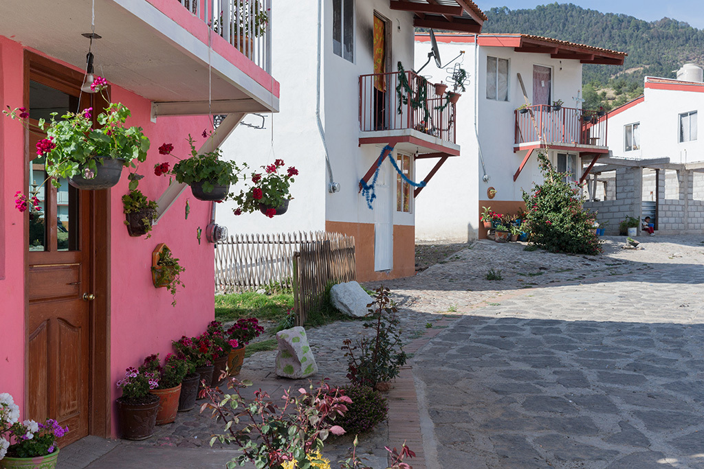
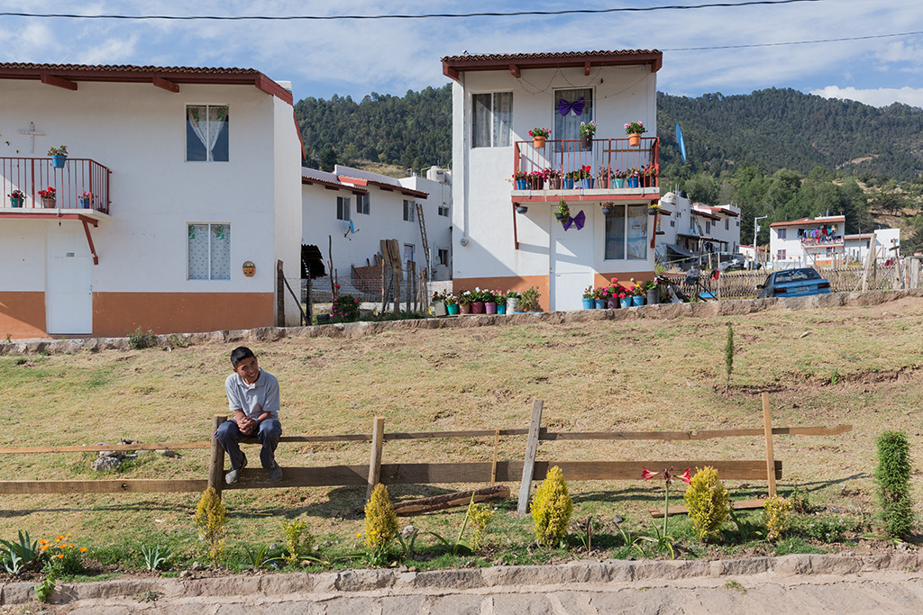
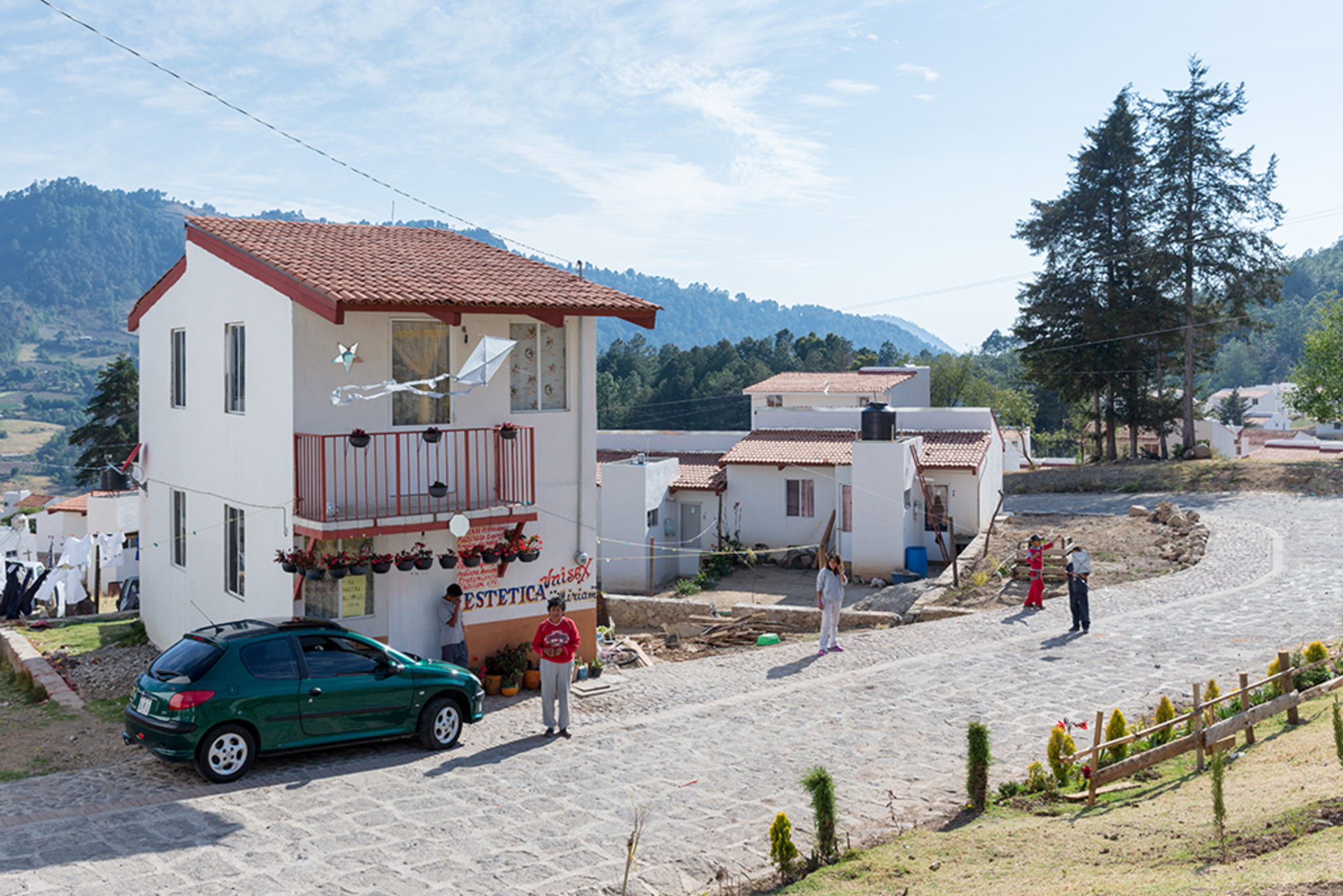
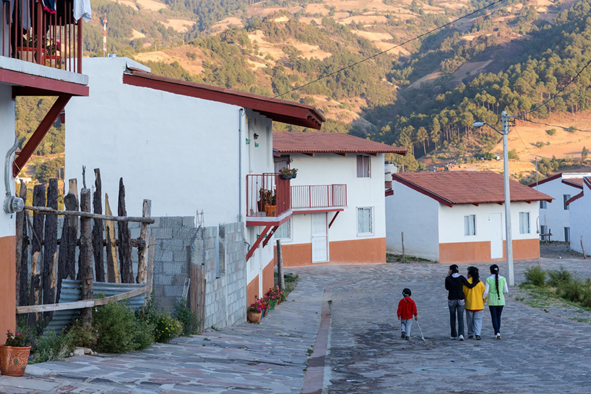
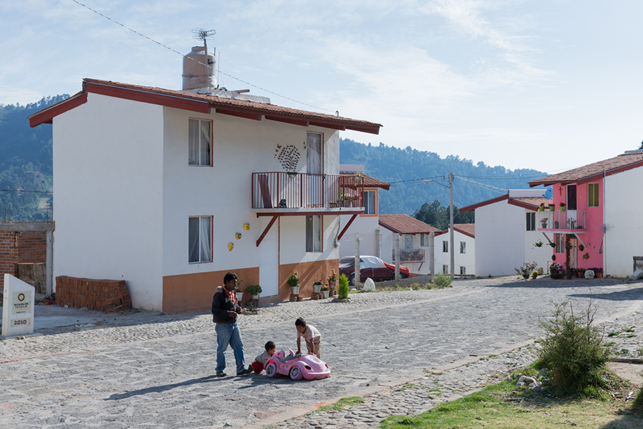
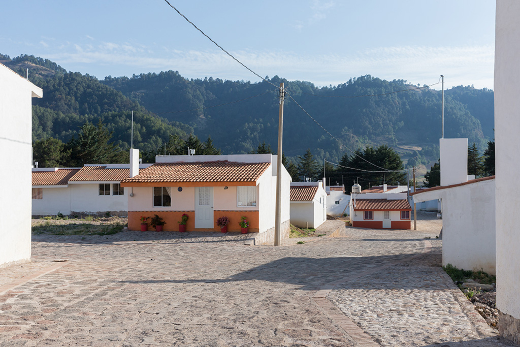
Following the natural contours of the topography, the extension forms an urban network with a distinct sub-center and eleven neighborhood hubs ("centros de barrios"), complete with public and private infrastructure. In this rural city, public spaces reclaim the streets from cars, prioritizing pedestrians. The streets do not merely connect square A to square B; they incorporate the squares themselves. Sidewalks are leveled with the streets and paved uniformly, creating a seamless, unified public space. This design approach, combined with irregular, flowing pathways, fosters urban life in the streets while reducing vehicular traffic.
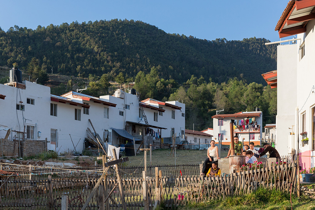
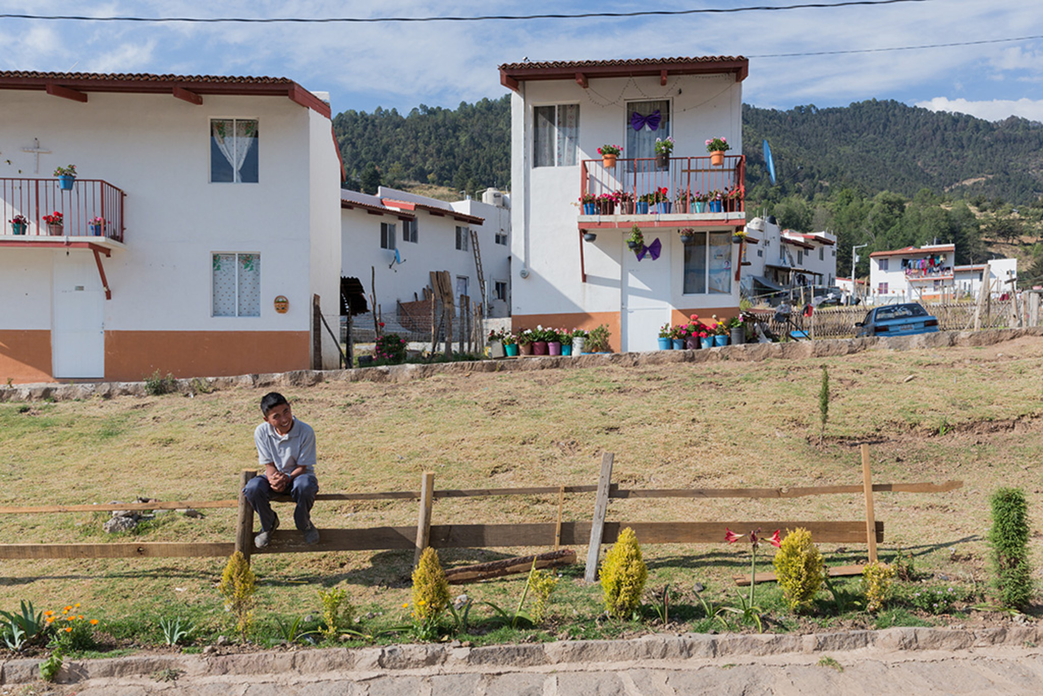
Three green corridors allow flora and fauna to penetrate the urban landscape. By respecting the topography, surrounding environment, original urban structure, and local materials, this project transforms what could have been a standard social housing subdivision into an autonomous and interactive urban community. The “Barrio Monarca Sustentable” has evolved from an emergency settlement into a vibrant organism where residents can live, work, recreate, and engage in all aspects of daily economic, cultural, and social life.